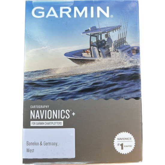
Navionics NSEU076R Benelux and Germany, West Nautical Charts


Order before 20:00 shipped today
- Stock: In Stock
- EAN: 0753759289362
- SKU: 010-C1242-20
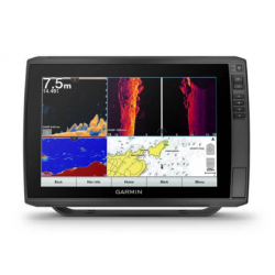
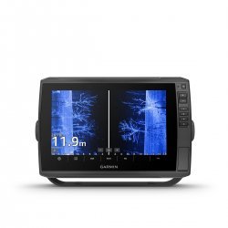
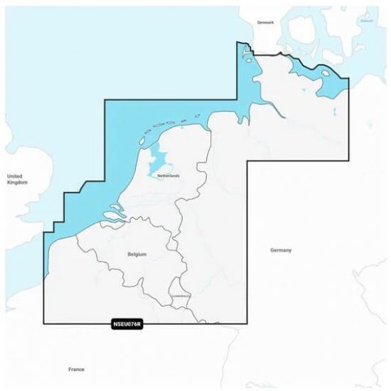
A must-have item for anglers who have or are going to purchase a Garmin fish finder for both freshwater and saltwater anglers. This map has extensive coverage of the North Sea coast of Belgium, the Netherlands and Germany, including the inland waterways and canals of the Benelux countries and the Baltic Sea coast from Germany to Wismar. Coverage consists of the Kiel Canal, the Wadden Sea, the IJsselmeer, the Rhine to Koblenz and the ports of Calais, France; Antwerp, Amsterdam and Rotterdam, the Netherlands and Hamburg, Germany and many more.
With vibrant colors, a streamlined interface, and a combination of coastal and inland waters content with a popular Navionics-style color palette, Garmin Navionics+ cartography makes it easy to chart your course with the world's leading name in nautical charts1.
- Navigate with our best offshore and inland waters coverage for your Garmin chartplotter.
- See it your way. Customize the view with different map layers and overlay combinations.
- With your included annual subscription you have access to daily updates via the ActiveCaptain app for smart devices.
- Auto Guidance+ technology2 allows you to navigate with suggested dock-to-dock routes.
- Select up to 10 target depth ranges with color shading to discover the best fishing locations.
- Save money by renewing your subscription and keep access to daily updates and new content.
NB! at Team Outdoors you purchase the version with SD card and not the download version.

