Navionics+ MSD Card - Benelux and Germany, West
Navionics+ MSD Card - Benelux and Germany, West
Order before 20:00 shipped today
- Stock: In Stock
€161.30
- EAN: 8056780000237
- SKU: 010-C1321-30
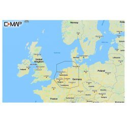
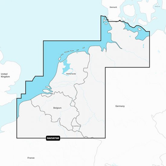
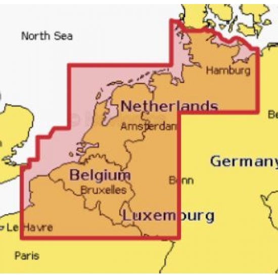
The Navionics water chart of Benelux and Germany, West is an absolute must for skippers and fishermen who like to sail in these areas. This pre-programmed water map has detailed coverage of the North Sea coasts of Belgium, the Netherlands and Germany including the inland waterways and canals of the Benelux countries and the Baltic Sea coast from Germany to Wismar.
Coverage includes the Kiel Canal, the Wadden Sea, the IJsselmeer, the Rhine to Koblenz and the ports of Calais, France; Antwerp, Amsterdam and Rotterdam, Netherlands and Hamburg, Germany.
When you have the map at home, you can register the map with Navionics. You are then entitled to free updates of this inland waterway map from one year after purchase.
It is useful, for example, to update this map before going on holiday or going on a long trip.
It is useful, for example, to update this map before going on holiday or going on a long trip.
If you have an older chartplotter, it is definitely recommended to check the Navionics compatibility list to see if this chart works in combination with your chartplotter.
About Navionics:
Detailed sea and lake cartography makes Navionics+ the perfect choice for cruising, fishing and sailing. Get the most accurate navigation data for your GPS plotter, an exclusive 0.5m HD bathymetric map enhanced by boaters like you, and unique local content shared by Navionics app users.
We make thousands of edits every day so you always have the most up-to-date charts.
Not compatible with Garmin Chartplotters.




-550x550w.png)
-550x550w.png)


-80x80w.png)
-80x80w.png)


